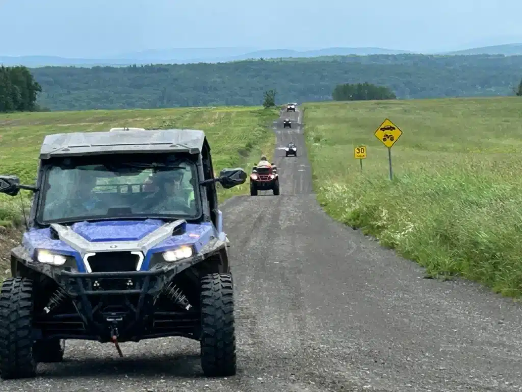
Planning a multi-day ATV trip — a different way to explore a small part of our beautiful province with friends—isn’t that difficult, and yet few ATV riders dare to do it outside the framework of a club. It takes a little tolerance for the unknown, a pinch of adventurous spirit, and a few drops of resourcefulness, because even with careful planning, not everything will go exactly as planned. Let’s take a look at how to go about it.
Choosing Your Dates
An undeniable advantage of planning your own ATV trip is being able to decide your departure and return dates. The closer these dates are to the peak of the summer vacation season, the more variable the availability and prices of accommodations will be. Outfitters, hotels, motels, or bed-and-breakfasts will necessarily have to be located directly on the trails, which significantly limits the ATV rider’s choices. Traveling before June 24 allows you to take advantage of off-season prices, and traveling later, in August or September, helps you avoid the crowds, but you’ll need to watch out for trail closures caused by the start of hunting season. The longer the planned trip, the further in advance you’ll need to plan, because if even a single lodging option along the route is fully booked, you’ll have to change the entire itinerary.
Useful Mapping Tools
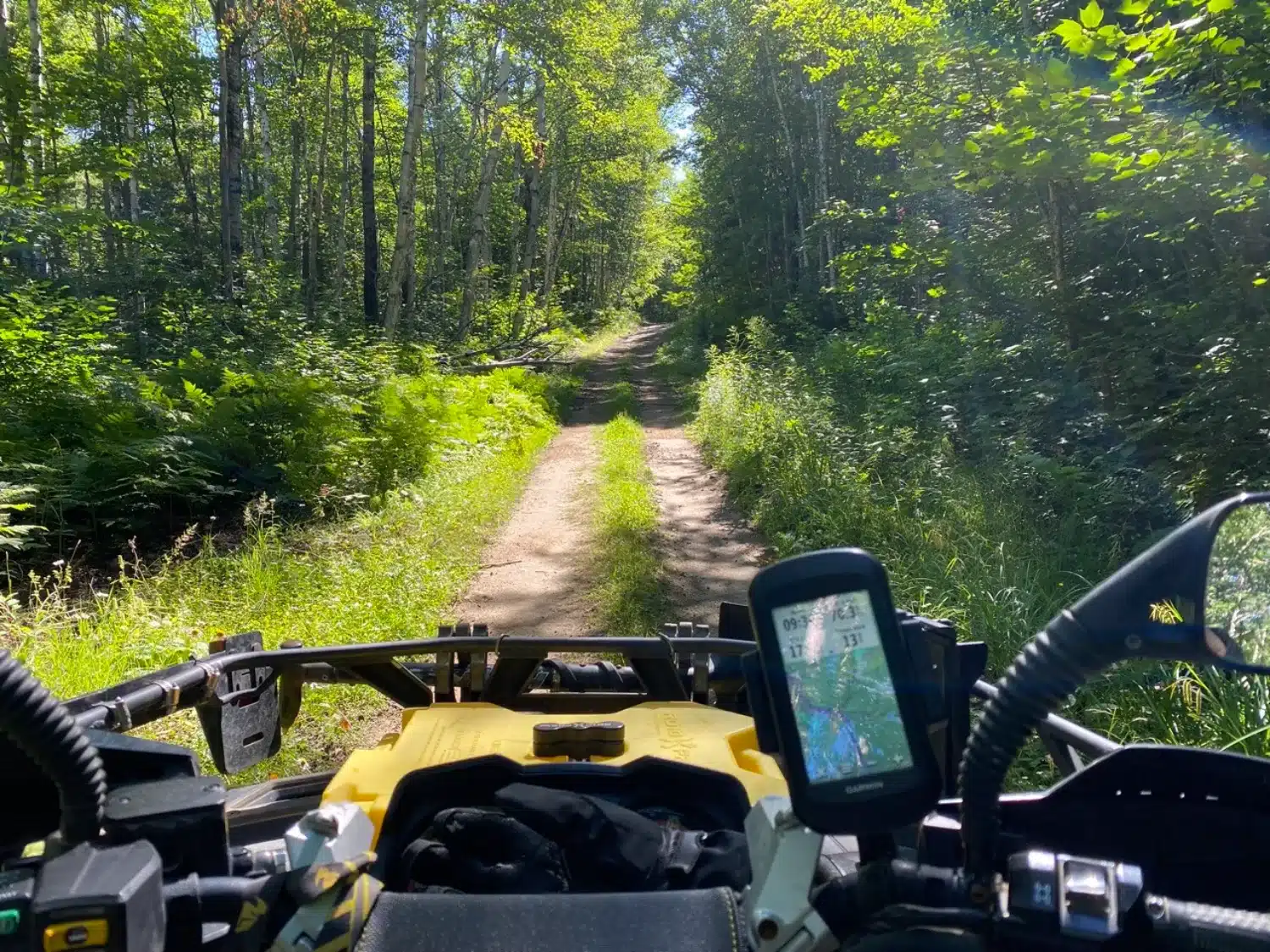
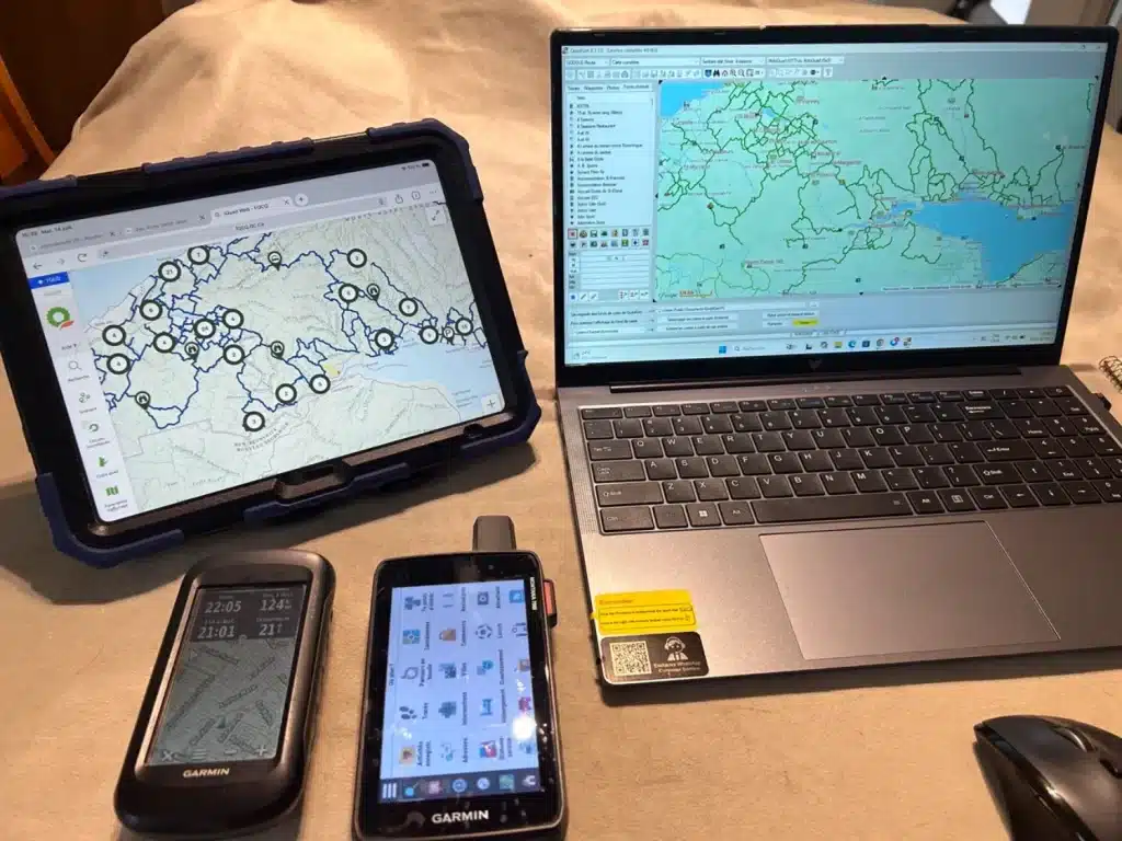
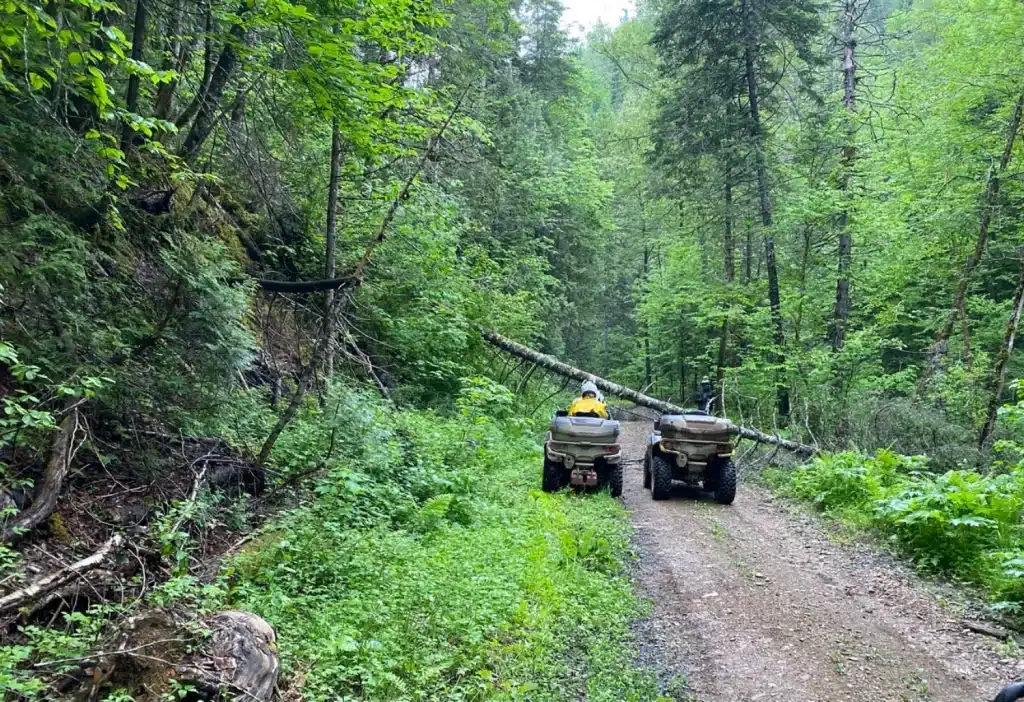
Planning your ATV trip has become almost effortless with mapping and location tools like the FQCQ’s interactive map or the QuadGen software paired with a good GPS. The advantage of using a GPS rather than a cell phone for navigation is that it allows you to select one or more base maps and save dozens of routes. On my device, for example, I have the 1:20,000 topographic map of Quebec, to which I overlay TrackMap trails as a transparent layer. This way, when faced with a blocked trail, you can see how to get around the obstacle.
The Avenza app, which is very popular among hunters, deserves to be better known among ATV riders. You can download it for free on your cell phone and use it offline if you’ve taken the time to download the maps in advance. SEPAQ maps and most ZECs are also available for free. Often used for hunting, the app pinpoints your location on a detailed topographic map showing trails, roads, and forest cover.
Google Maps is also useful during planning to view trail types in satellite mode, as well as to locate businesses not shown on your ATV mapping software.
ATV clubs are also excellent partners and are often overlooked during planning. They’re a goldmine of useful information and experts on their region, knowing what not to miss or where to get help if needed. Keep their contact information handy throughout the trip.
The Importance of Optimizing the Route
When planning the route for our ATV trip, we’ll want to maximize the time spent riding the ATVs and visiting sites, and arrive at our lodging in the late afternoon. This is the most challenging part because we won’t be riding at the same speed on a wide forest road as we will on a narrow trail. As a general rule, we estimate an average speed of 30 km/h, including breaks. To get an idea of the type of trail ahead, we can assume that long straight stretches or right-angle turns correspond to rows in farmland, while very winding sections are narrow trails. Make sure you have enough gas to cover the planned distance, and verify that gas is available at the locations where you plan to refuel, since there can sometimes be surprises in remote areas. Once you’ve identified your lodging options, you’ll need to contact them to confirm that they can not only accommodate you but also provide gas, serve dinner and breakfast, and sometimes supply a packed lunch to take on the trail if there are no dining options along the route.
The Science of Packing
Your trip is planned, your accommodations are booked—it’s time to pack. You can either trust the weather forecast or prepare for all possible conditions. Your gear must stay dry. One tip is to use a waterproof bag and also place your items in Ziploc bags. In fact, we’ve already discussed personal preparation for long trips in this article. That way, if your main bag fails, you’ll still have a little extra protection to keep your clothes dry.
The size and type of off-road vehicle greatly influence the amount of luggage you can carry. In addition to clothes, you’ll need a cooler for trail lunches, tools, and gas cans. The farther you travel into remote areas, the more essential your emergency gear becomes. Our level of preparation could even include a satellite phone, dehydrated food, a chainsaw, and an emergency shelter. All of this would, however, be quite unnecessary if our trip takes place in a more suburban area where cell service is available. Sometimes you have to choose between what’s necessary and what might be useful.
Dare to Adventure
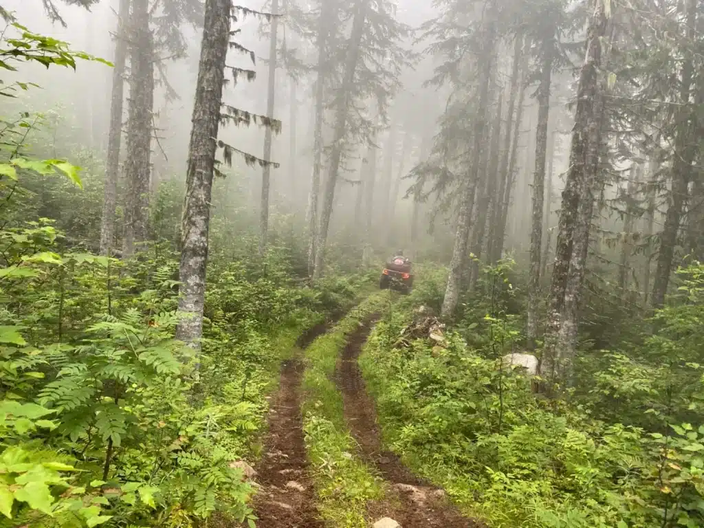
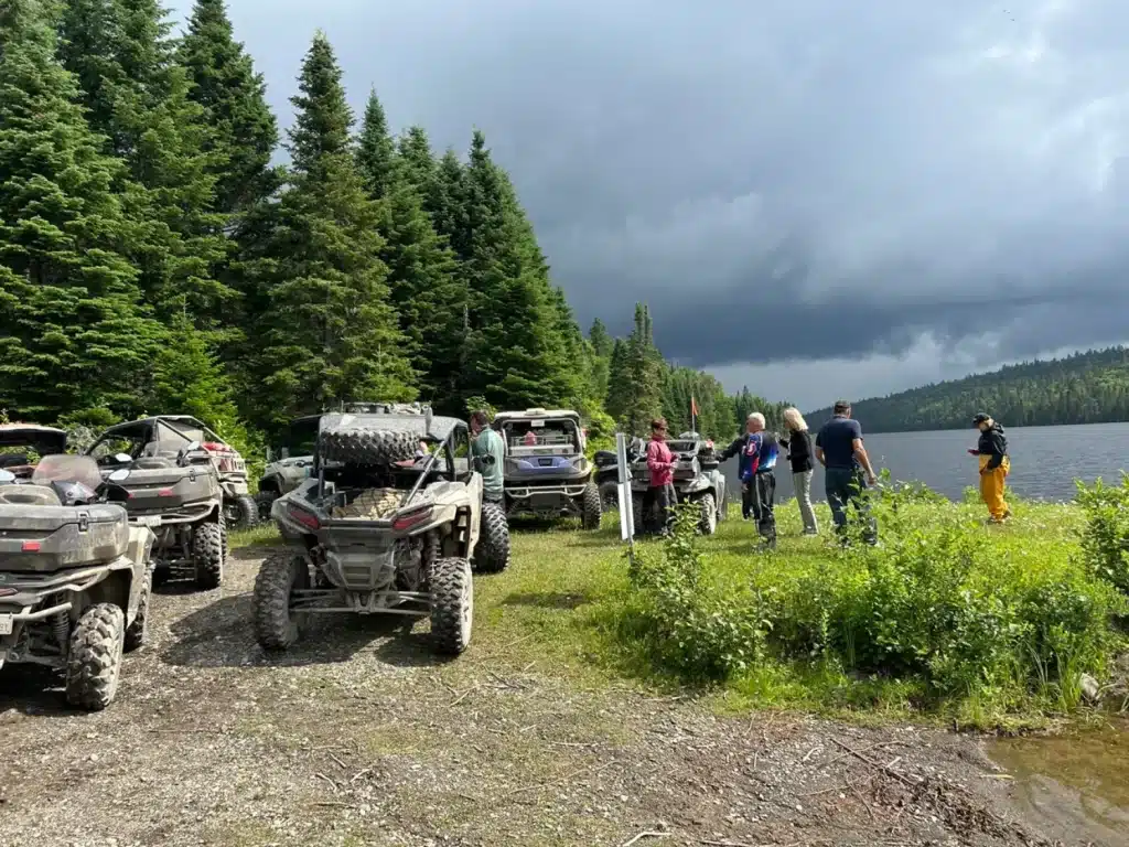
Quebec is teeming with breathtaking trails—places you simply can’t see any other way than by ATV. There are pre-planned routes, such as the Route Quad or the Summum Trail, which offer a variety of trails to explore. The Amqui region is a great place to get started, thanks to the Matapédia ATV Club, which offers exceptional trails and signage. Go for it! It’s so much fun to spend a few days traveling by ATV!