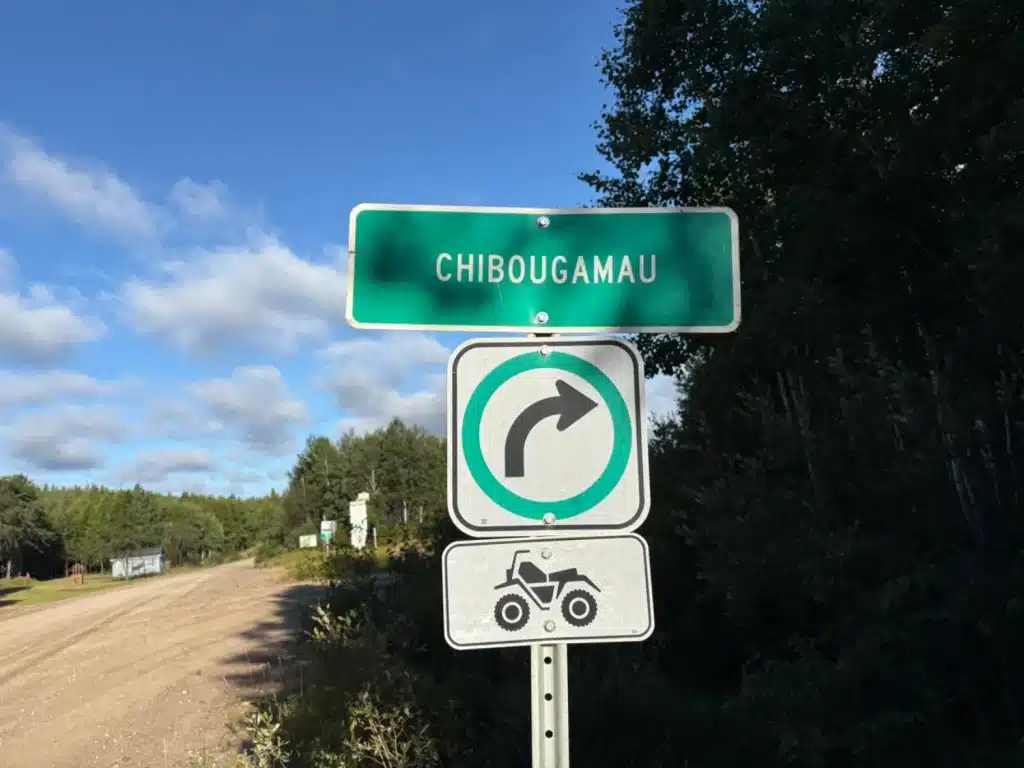
For a long time, I had wanted to ride from the Lac-Saint-Jean region to Chibougamau. More than a decade ago, a federated ATV trail connected the two regions, but it was removed before I had the chance to explore it. One section was gradually becoming overgrown, and a bridge had also been destroyed near Lake Barthélémy, if memory serves me right.
The federated trail returned about three years ago, with a few changes designed to bypass the problematic areas.
How to Prepare for an ATV Trip to Chibougamau
Careful preparation is essential before setting out. There is nowhere to refuel between the two main service points. For this ride, GPS mapping, fuel range, mechanical preparation and reliable communication devices are all crucial.
275 km Between Service Points
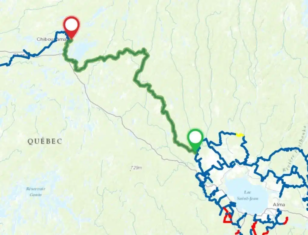
The distance between the Centre de villégiature Lac à Jim and the Lac Caché lodge is 275 kilometres. It is one of the longest stretches of federated trail between two service points—if not the longest.
There is no convenience store, outfitter or logging camp where riders can stop for supplies or assistance. You must bring everything you need and be prepared to handle problems on your own. Travelling with a group of at least three off-road vehicles is also strongly recommended so that riders can help one another if something unexpected happens.
Plan Your Fuel Range Carefully
We prefer to carry enough fuel to reach Chibougamau, bringing the total distance to 300 km. This lets us refuel when we arrive and ride the same route back the next day without stopping at the Lac Caché lodge for gas.
As a general guideline, an ATV uses about 40 litres of fuel for the trip, while a side-by-side uses roughly 50. Actual consumption depends on the model, speed and total weight. On my Can-Am Outlander MAX 850, for example, I carried an extra 32 litres in addition to the 20 litres in the tank, for a total of 52 litres. I still had about 15 litres left at the end—an ideal reserve for unexpected situations.
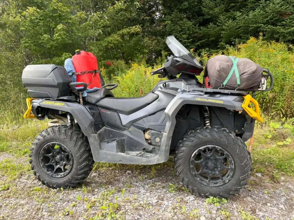
As on every ride, I always carry a survival kit, a first-aid kit and the tools needed to make repairs.
Satellite Communication Is Strongly Recommended
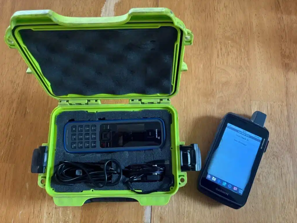
There is no cellular coverage anywhere along this route, so a satellite communication device is highly recommended. Ideally, prepare a list of contacts to call if a problem occurs. Having a way to communicate is one thing; knowing whom to contact is another. Keep in mind that 911 may be unavailable or may work differently depending on the satellite device and service. Before leaving, make sure you know the proper way to reach emergency services quickly.
Do Not Overlook a Mechanical Inspection
Your off-road vehicle must be in good condition before departure. A thorough mechanical inspection of the ATV is essential. Pay particular attention to wear-prone components such as wheel bearings, universal joints, the drive belt, pulleys and seals. If any part shows even early signs of fatigue, replacing it is strongly recommended, even if it might otherwise last a little longer.
Riding an ATV to Chibougamau
Departure from Lac à Jim
We arrive at Lac à Jim very early on Saturday morning. It promises to be a beautiful day! The sun is shining, but the temperature is a chilly 11°C. Fortunately, I installed the windshield, which I normally remove for the summer. Once the ATVs are prepared and our equipment checked, we are ready to leave.
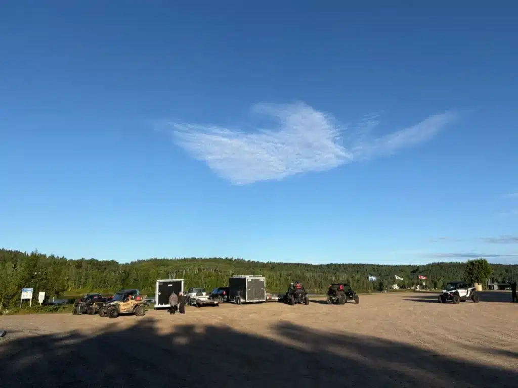
The first few kilometres are very enjoyable. We ride through beautiful wooded trails with sandy surfaces. Before long, we reach the L-202 forest road.
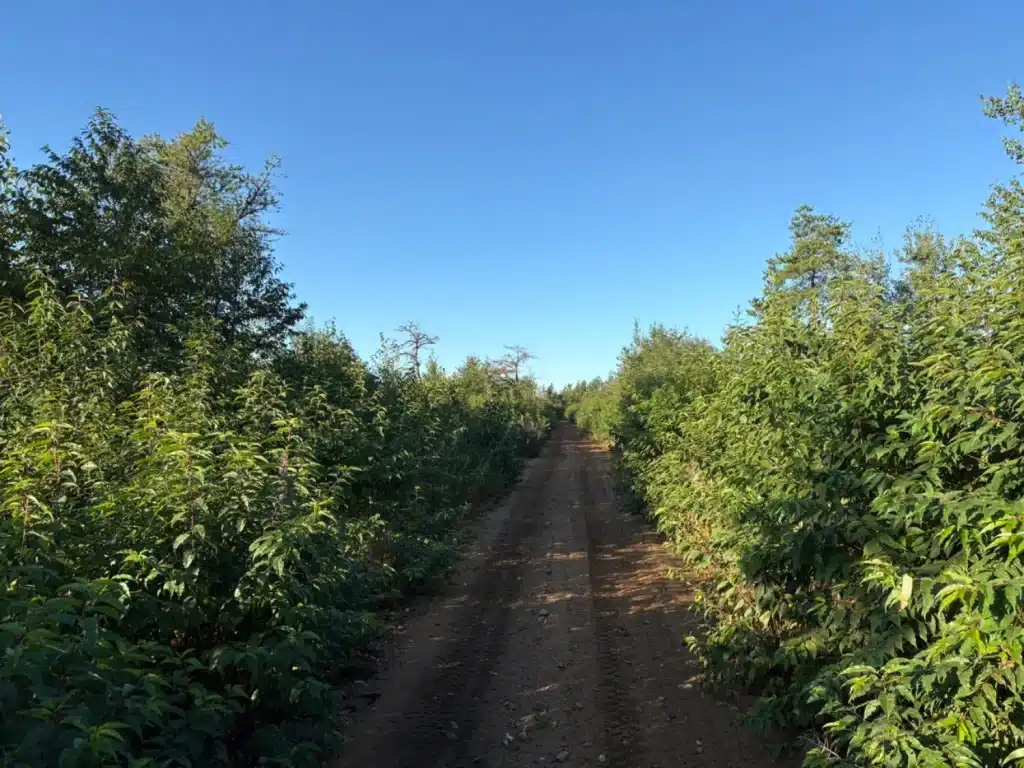
This is a primary forest road that we follow for about 20 kilometres. The riding surface is excellent.
I have to admit that long forest roads are not usually my favourite kind of ATV riding. When I head out on a ride, I prefer narrower trails, curves and changing terrain.
I did not yet know that this day would change my mind.
The Farther We Ride, the Better It Gets
We leave the L-202 near Lake Raquette and turn onto a secondary road. This is also where the ATV kilometre markers begin.
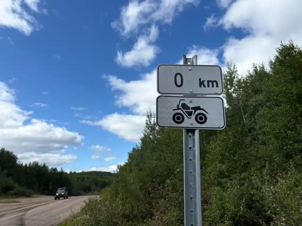
I think this is an excellent initiative by Club Quad Maria-Chapdelaine. The markers show riders exactly where they are and make it easy to track their progress. They can also be extremely useful when a problem occurs on the trail. If riders notice damage or a hazard, they can report the marker number to the club, allowing it to locate the site quickly.
The secondary road is winding and wooded. It is still fairly wide at first, but gradually narrows. After a few kilometres, it almost feels as though we are back on an ATV trail.
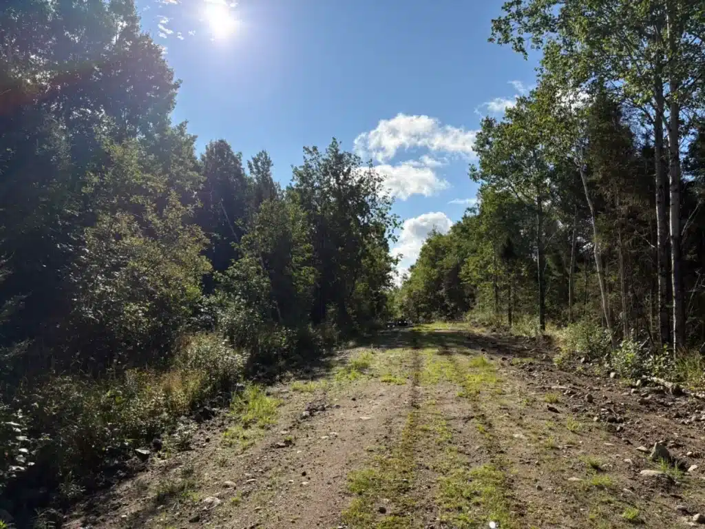
This is much more my style.
We cover about 70 kilometres on this section. Despite the distance, the kilometres pass quickly as we turn, climb, descend and ride through different wooded areas.
Then we rejoin the L-202.
A Break Near the Rivière du Chef Bridge
We remain on it for only four kilometres before turning left toward two bridges.
The first crosses the Azianne River. The second, over the Rivière du Chef, offers impressive scenery that deserves a short break.
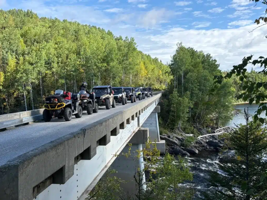
These are beautiful places to stop for a moment and look around. After many kilometres through the forest, the rivers provide a welcome change of scenery.
We continue on forest road R-0288 through a section called the Traverse Nestaocano-Myrica for about 10 kilometres. We then reach the R-203, known as Chemin Nestaocano after the river that runs alongside this section.
We follow this road for 36 kilometres before leaving it at kilometre 106.
The day is going well, and we have already completed half the route.
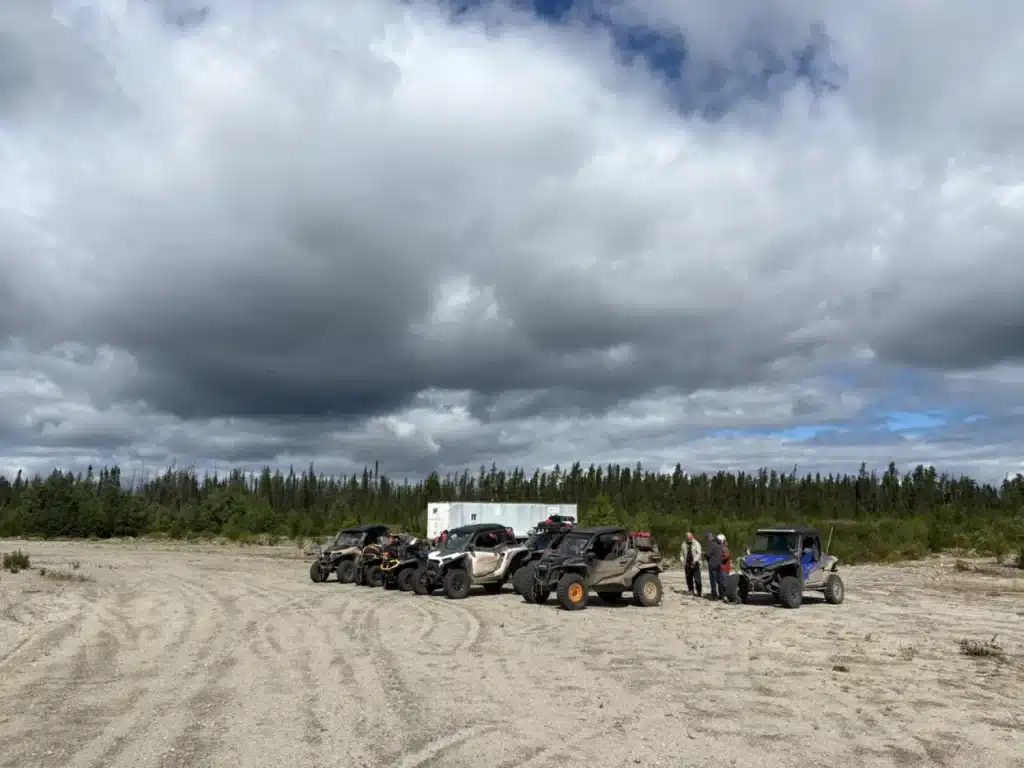
A Forest Road That Feels Like a Winter Trail
At kilometre 106, we leave the main route and follow a secondary road for about eight kilometres. It leads us to a tertiary road, which we take next.
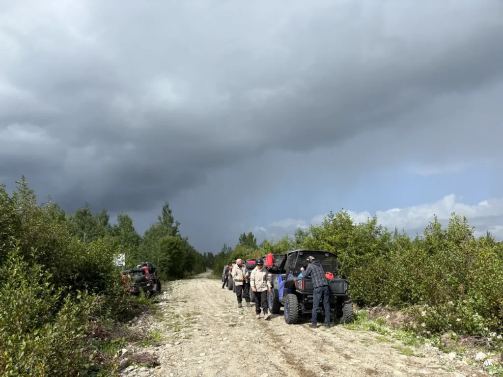
This is another one of my favourite sections.
One of our riding companions came up with the perfect comparison: it feels like riding on winter trails. That is exactly the impression I had.
The road winds between the trees, and the many curves make it genuinely enjoyable to ride. Although we are still on infrastructure built for forestry operations, the route feels much more like an ATV trail.
We cover roughly 50 kilometres.
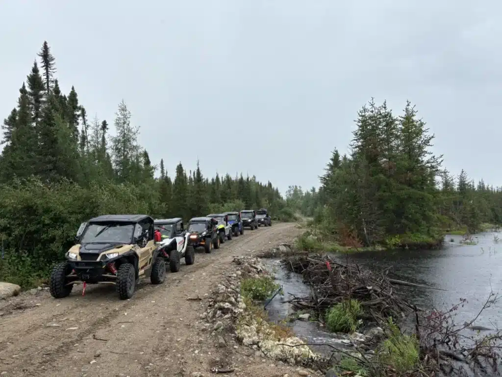
Two or three short sections of forest road follow before we reach road R-1004.
Finally, about 40 km from Chibougamau, we return to actual ATV trails.
The Final Section Before Chibougamau
This final section is a pleasure to ride. The route is winding, and the scenery becomes more varied. After so many hours on wider roads, returning to the trails brings us back to the kind of riding we enjoy most.
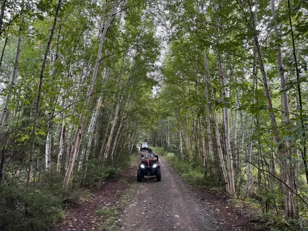
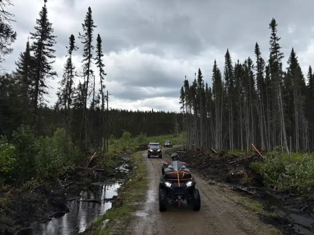
At last, we arrive in Chibougamau.
Our first stop is the gas station. We fill up before heading to our accommodations.

The day passed much faster than I expected.
The next morning, we follow exactly the same route in the opposite direction. As always, both the trail and the scenery seem different when experienced the other way around.
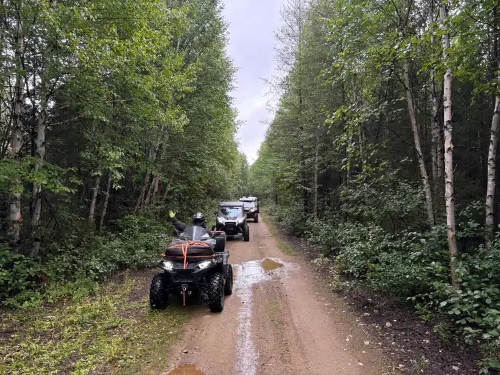
An ATV Adventure with a Pleasant Surprise
To be honest, I was a little apprehensive about this ride before leaving. I do not enjoy covering long distances on forest roads, and I thought the kilometres might eventually feel endless. Still, I decided to try it and keep an open mind so I could discover the route for myself.
Yes, this trip includes many forest roads, but I found them far more interesting than expected. The riding surface is excellent, and the route is anything but monotonous.
Some sections are wide, while others become much narrower and more winding. The scenery changes from one area to the next, and in many places it feels as though you are riding on a true ATV trail. That variety pleasantly surprised me.
That said, riders must be well prepared for this trip, especially because of the distance between service points.
In the end, I am glad I did not rely on my first impression.